Grating camera
Used to examine whether the light showed a continuous spectrum or identifiable spectral lines. A spectrum can constrain a light source; it does not automatically identify its cause.
HESSDALEN · TRØNDELAG · 1981–1984
Recurring lights in a Norwegian valley. Then cameras, radar and field teams arrived. Hessdalen is not one sighting—it is a long-running evidence problem.
01 / THE FIELD SITE
It is a valley where unusual lights were reported repeatedly, especially from late 1981 through the mid-1980s. Project Hessdalen formed in 1983 and organised a field investigation from 21 January to 26 February 1984. The official project homepage reports 53 observations during that field period.
DOCUMENTED BOUNDARY: recurrence makes Hessdalen a research location. It does not prove that every reported light was the same phenomenon.
02 / THE PHOTOGRAPHS
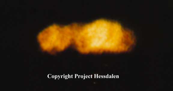
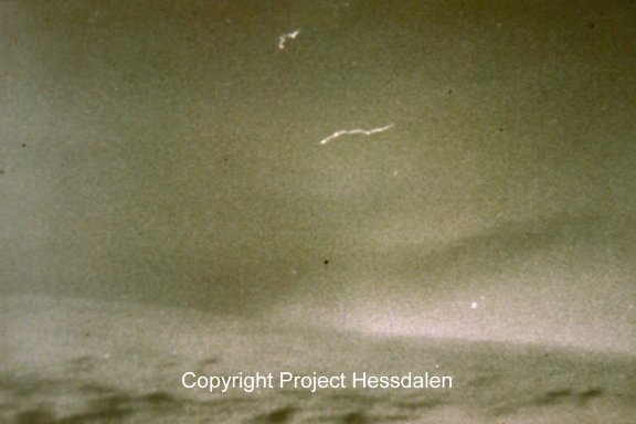
The strongest historical material is not a single “best” frame. It is a set of photographs with named photographers, dates, lenses, locations and, in some cases, paired images showing movement or changing intensity. Those details make the photographs evidence to examine—not answers to import.
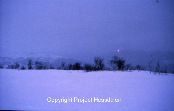
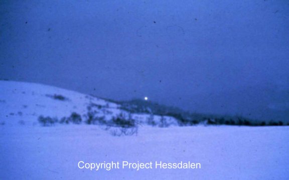
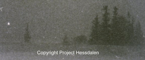
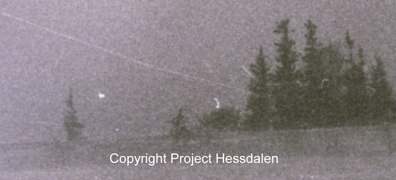
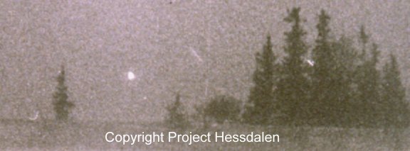
SOURCE NOTE: these are reproduced from the official Project Hessdalen archive. Any production reuse should preserve attribution and follow the project’s permission or licensing terms.
03 / 1984 FIELDWORK
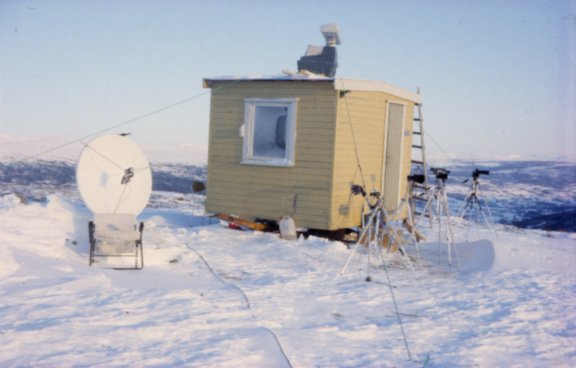
The 1984 campaign placed observers at several field stations and brought multiple instruments into the valley. The project’s technical report was explicit about method: the team wanted to learn what kind of light source was being observed and designed measurements around that question.
That is a stronger historical claim than “scientists proved a UFO.” It is a record of a volunteer field investigation that generated photographs, reports and instrument observations under imperfect conditions.
LIMITATION: the archive’s photographs are not a calibrated dataset by themselves. Camera settings, viewpoint and atmospheric context matter.
04 / THE INSTRUMENTS
Used to examine whether the light showed a continuous spectrum or identifiable spectral lines. A spectrum can constrain a light source; it does not automatically identify its cause.
The 1984 report describes radar as a way to test whether the lights reflected radar and, if so, estimate distance and speed. A radar claim must remain tied to the instrument record and its calibration.
Seismic and magnetic instruments were used to test ground-motion and environmental hypotheses. Their presence shows the breadth of the investigation, not a settled result.


The spectrographic records are useful primary material, but interpretation belongs with the technical report, not with the image alone.
05 / THE AUTOMATIC STATION
An automatic measurement station was installed in August 1998. The official station documentation describes cameras, alarm systems, weather sensors, flight detection and radar. It also states a crucial limitation: there is no recording of what the radar detects.
EVIDENCE BOUNDARY: a live or historic sensor system is not the same thing as a preserved, independently auditable dataset.
06 / ALTERNATIVES
Vehicle headlights and other conventional lights can explain some observations. Atmospheric or plasma mechanisms, geological and electrical hypotheses, reflections, camera effects and observational error have also been proposed. The long record may contain more than one kind of event.
The responsible conclusion is narrower: Hessdalen is a genuine historical research corpus with recurring reports and some instrumented observations. The evidence does not establish one universal cause, and the photographs should not be used to imply one.
07 / WHAT WOULD CHANGE THE CASE
Preserved radar, optical and spectral data with timestamps, calibration and environmental context would allow stronger independent testing.
A reliable catalogue separating identified lights, ambiguous observations and instrument-confirmed events would prevent the corpus from becoming one blended story.
Clear methods, archived source files and independent reanalysis would show which conclusions survive beyond the original project interpretation.
SOURCE ROOM